
← All projects
Cartography & Map Production
BCW Projects in Kericho County
County-scale overview map locating BCW projects across Kericho County for coordination and communication.
- Role
- Cartographer
- Period
- 2024
- Location
- Kericho County, Kenya
- ArcGIS Pro
- QGIS
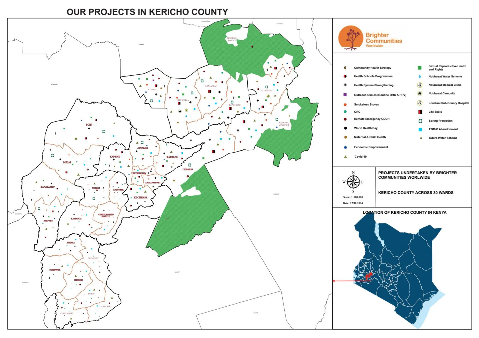
The output
A county-scale overview map documenting the spread of BCW project sites across Kericho County.
What I did
- Compiled and verified project locations and boundaries, then symbolised them with a locator inset and scale.
- Kept the layout clean at county scale so the distribution of sites is immediately legible for stakeholders.
More in Cartography
Cartography
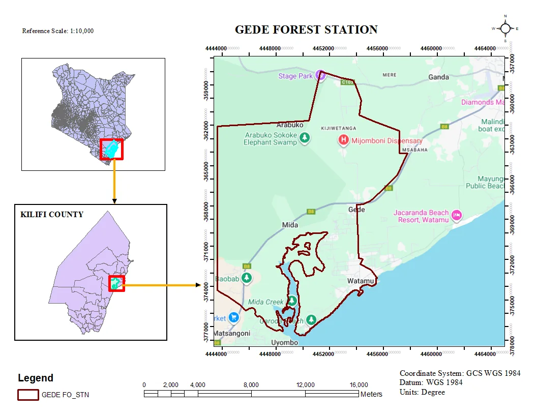
Gede Area Mapping
Thematic map production for the Gede area, combining field data with base layers for presentation-ready output.
- ArcGIS Pro
- QGIS
Cartography
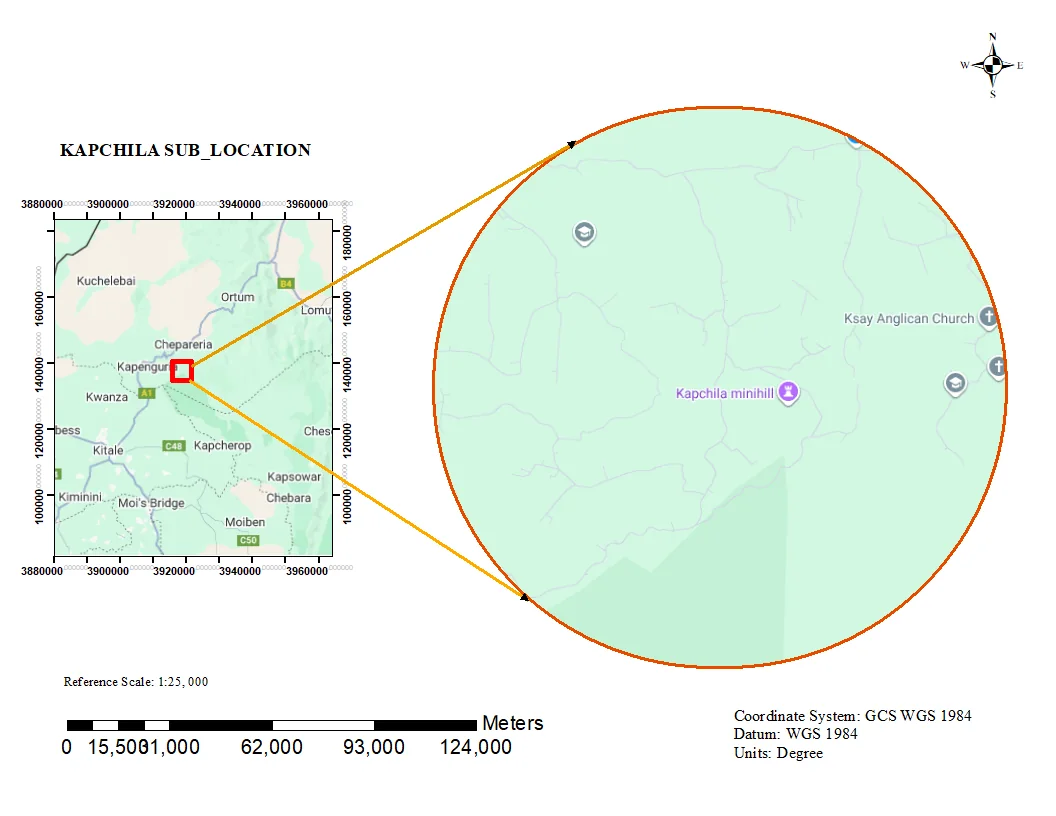
Kapchila Sub-Location Boundary Map
Administrative sub-location map with clean boundary delineation and locator context for planning and reporting.
- ArcGIS Pro
- QGIS
Cartography
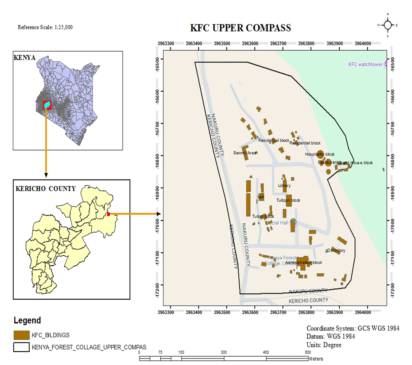
KFC Upper Compass — Facility Mapping
Topographic facility map of the Kenya Forest College upper campus in Kericho, produced at 1:25,000 with a Kenya and Kericho County locator inset.
- ArcGIS Pro
- QGIS